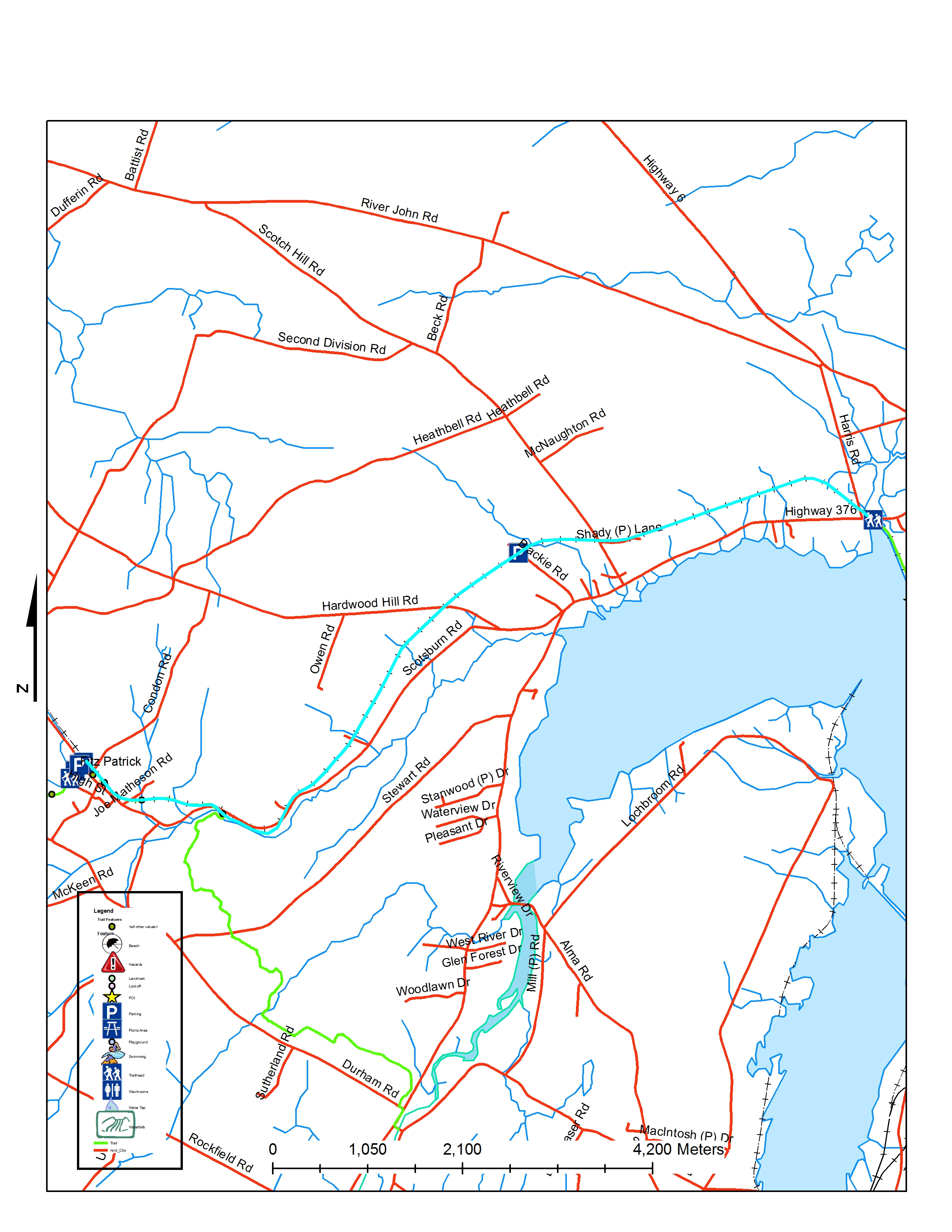
Details for Short Line Trail 1 - Scotsburn

Use: Walking, Running, Biking, ATV, Skiing
Length: 12.7 km
Type: Out and back
Difficulty: Not yet rated
Availability: N/A
Nearest community: 14 minutes to Pictou by car Entrance points at Browns Point Road, Blaikie Road in Lyons Brook and Scotsburn behind Scotsburn Fire Hall
Wheelchair Accessible: No
Trail Map
Coordinates: Lat: 45.649808 | Long: -62.851308 | Easting UTM: 511585.98 | Northing UTM: 5055150.7