Details for Jitney Trail - River John to Pictou
Destination Brief Description


Jitney Trail - River John to Pictou

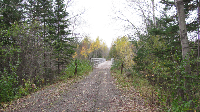
Jitney Trail - River John to Pictou is a beautiful recreational trail in the Northumberland Shore region from Pictou's waterfront to Brown's Point. Walkers, cyclists and in-line skaters can enjoy a 3-km trail to the site where the Ship Hector made it's historic landing in 1773.

Address: W Branch Private, River John Nova Scotia
Connect With Us:


Use: Walking, Biking, ATV, Snowmobile, Cross Country Skiing, Snowshoeing
Length: 40 km (one way)
Type: Out and back (80km round-trip)
Difficulty: Not yet rated
Availability: Open 24/7, year round
Nearest community: 31 minutes to Tatamagouche by car


Wheelchair Accessible: No


Trail Map


Coordinates: Lat: 45.750264 | Long: -63.057849 | Easting UTM: 495500.51 | Northing UTM: 5066302.4
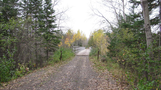
Photo Gallery