Details for Jitney Trail, Pictou Waterfront
Destination Brief Description


Jitney Trail, Pictou Waterfront

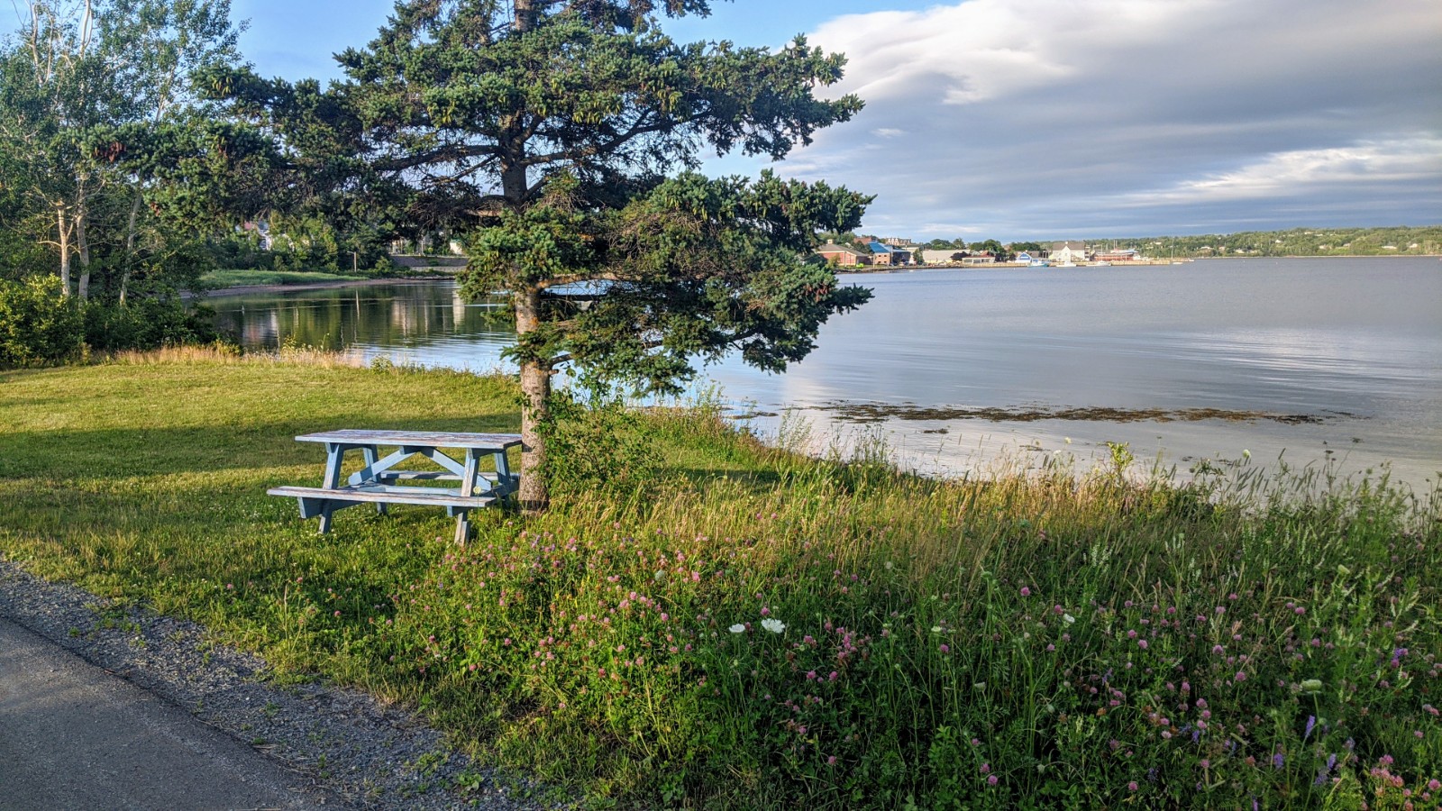
The Jitney Trail begins along the waterfront in Pictou and follows the abandoned rail line west around Norway Point and under the causeway to Browns Point. From the parking area the paved, 5 to 7 foot wide trail runs along the shoreline of Pictou Harbour. This paved area is excellent for wheelchair, bicycle, rollerblade, and stroller use. Walkers and cyclists can enjoy a three-kilometre trail to the site where the ship Hector made its historic landing in 1773. Park benches and picnic tables are available, allowing you to take in the panoramic views. Along the way, you can learn about Pictou through interpretive panels and views of the site the Hector settlers landing. The Jitney Trail connects directly to the Trans Canada Trail System for more avid hikers/bikers. Washrooms are available at Brown's Point or at the Hector Quay Visitor's Marina. The trail is partially lit and paved for first 1.5 km (from the entrance on the town-side). An application for facility usage is available at the Town Office for anyone looking to use the trail for a special event or a charity run/walk event.

Address: 40 Water St, Pictou Nova Scotia B0K 1H0
Connect With Us:


Use: Walking, Running, Wheelchairs, Biking, Cross Country Skiing
Length: 3 km
Type: Out and back
Difficulty: Not yet rated
Availability: Open 24/7, year-round
Nearest community: Located in the Town of Pictou


Accessibility:

Partially Wheelchair Accessible


Wheelchair Accessible: No


Trail Map


GPS Download
Mobile Download
Coordinates: Lat: 45.676274 | Long: -62.717084 | Easting UTM: 522034.06 | Northing UTM: 5058171
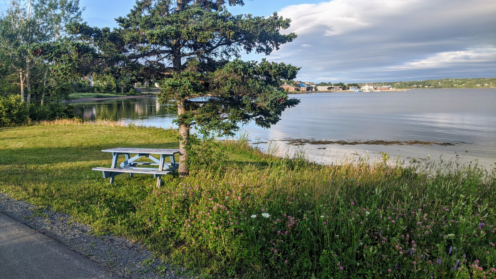
Photo Gallery