Details for Cape to Cape Trail, Fitzpatrick Mountain Trail
Destination Brief Description


Cape to Cape Trail, Fitzpatrick Mountain Trail

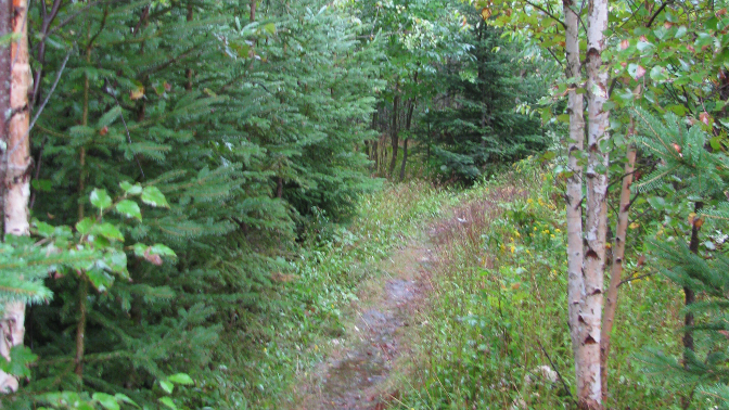
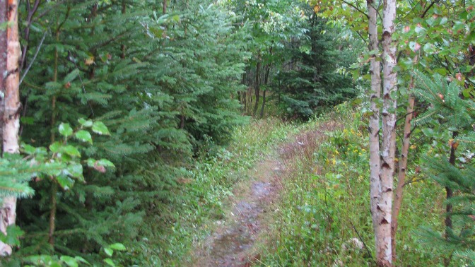
"Take the ""high road"" between Millsville and Scotsburn on the Fitzpatrick Mountain Trail where walkers with a keen sense of adventure will be rewarded by scenery that is well worth the effort. From the summit (about 275 metres above sea level) there is an excellent view of the surrounding countryside and at the Smith Rock Chalets (about 225 metres above sea level) there is a panoramic view of the Northumberland Strait and Prince Edward Island. Expect to find remains of the past on this historic trail that passes through the over-grown homesteads of our ancestors.

Address: Millsville Road, Scotsburn Nova Scotia B0K 1R0
Connect With Us:


Use: Walking, Hiking, Biking Length: 8 km Type: Out and back Difficulty: Not yet rated Availability: Open 24/7, year round Nearest community: 14 minutes to Pictou by car


Wheelchair Accessible: No


Trail Map


Coordinates: Lat: 45.653438 | Long: -62.856115 | Easting UTM: 511210.7 | Northing UTM: 5055553.3
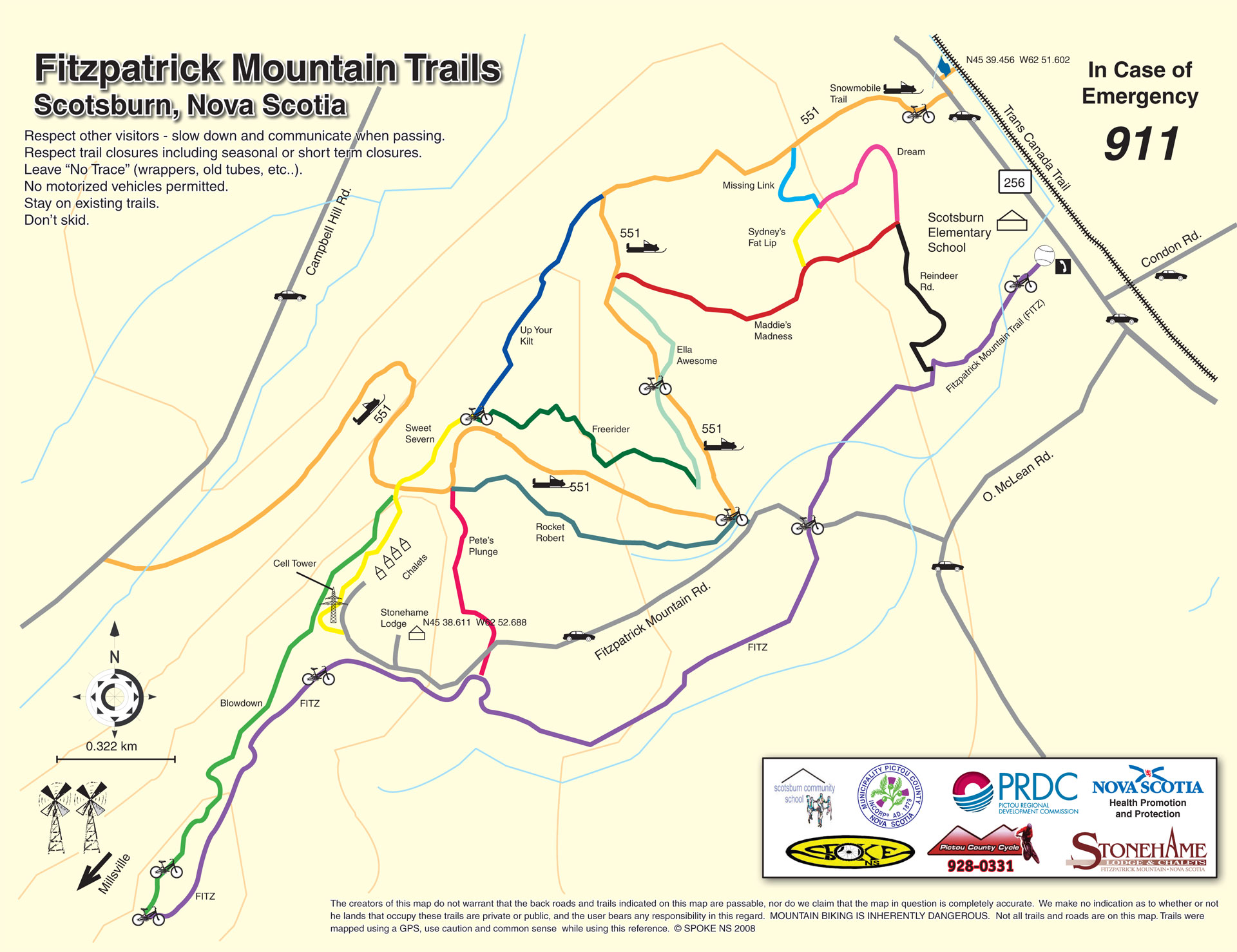
Photo Gallery