Search
| Community | Name | Type | Activity | Brief Description | Info | Actions | |
|---|---|---|---|---|---|---|---|
| Shelburne County |
 Charlesville Lighthouse |
Destination |
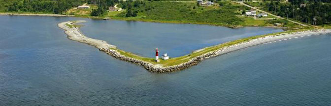
The original Charlesville (Pubnico Harbour) Lighthouse was built in 1854. It was a white, square, pyramidal wooden tower with a red lantern, with a dwelling attached. Both were demolished in 1967 and replaced with a conical fibreglass tower. Accessible on land. Great spot for viewing the Pubnico Wind Farms and fishing boats in Pubnico Harbour. |
|
|||
| Pictou County |
 Chestnut Street Playground |
Destination |
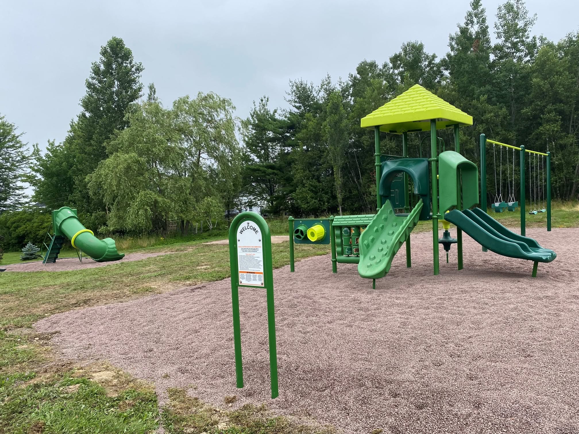
Chestnut Street Playground is newly renovated with playground equipment, swings and much more for the neighborhood to enjoy! |
|
|||
| Inverness County |
 Chimney Corner Beach |
Destination |
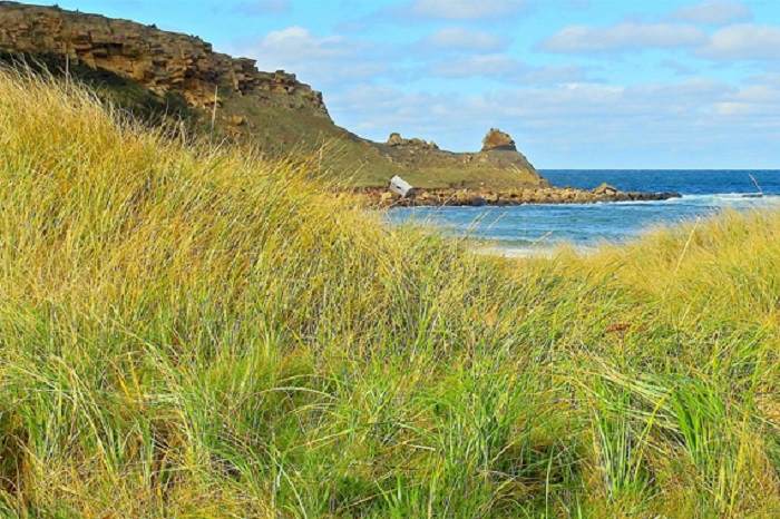
This gorgeous, clean beach is cradled in a cove, and offers safe swimming with long shallow water areas and great views. This is the choice of local folks not only because of its sheer size, but also its privacy from the road. It also offers a clean, shallow, fresh water stream which crosses the beach and empties into the Gulf; kids love playing in and around it. There’s rocky point to be explored, even in bare feet; the path has been worn smooth by generations of curious traffic. How to get here: Cape Bretoners travel from Baddeck and Sydney to enjoy Chimney Corner’s perfection. The gravel road to the beach is located on the right, at the bottom of a dip (you’ll also see ablue bungalow on the corner, about 8 km. south of Margaree Harbour, just a little south of the Cape Breton Clay shop and pond). At the end of the road, there’s plenty of parking in a grassy lot beside the beach. |
|
|||
| Antigonish County |
 Chisholm Park |
Destination |
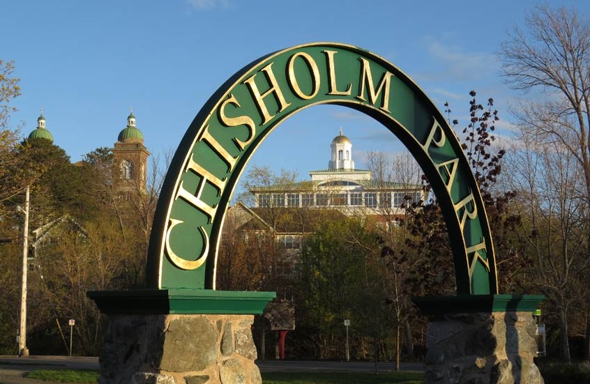
Colin H. Chisholm Park is a lovely green space by the river on the west end of Main Street next to Brierly Brook and the famous Wheel Pizza and Sub Shop. It plays host to outdoor concerts, highland dancing exhibitions, and is a great spot for visitors to rest on the park benches while strolling the downtown area. |
|
|||
| Shelburne County |
 Club House Playground |
Destination |
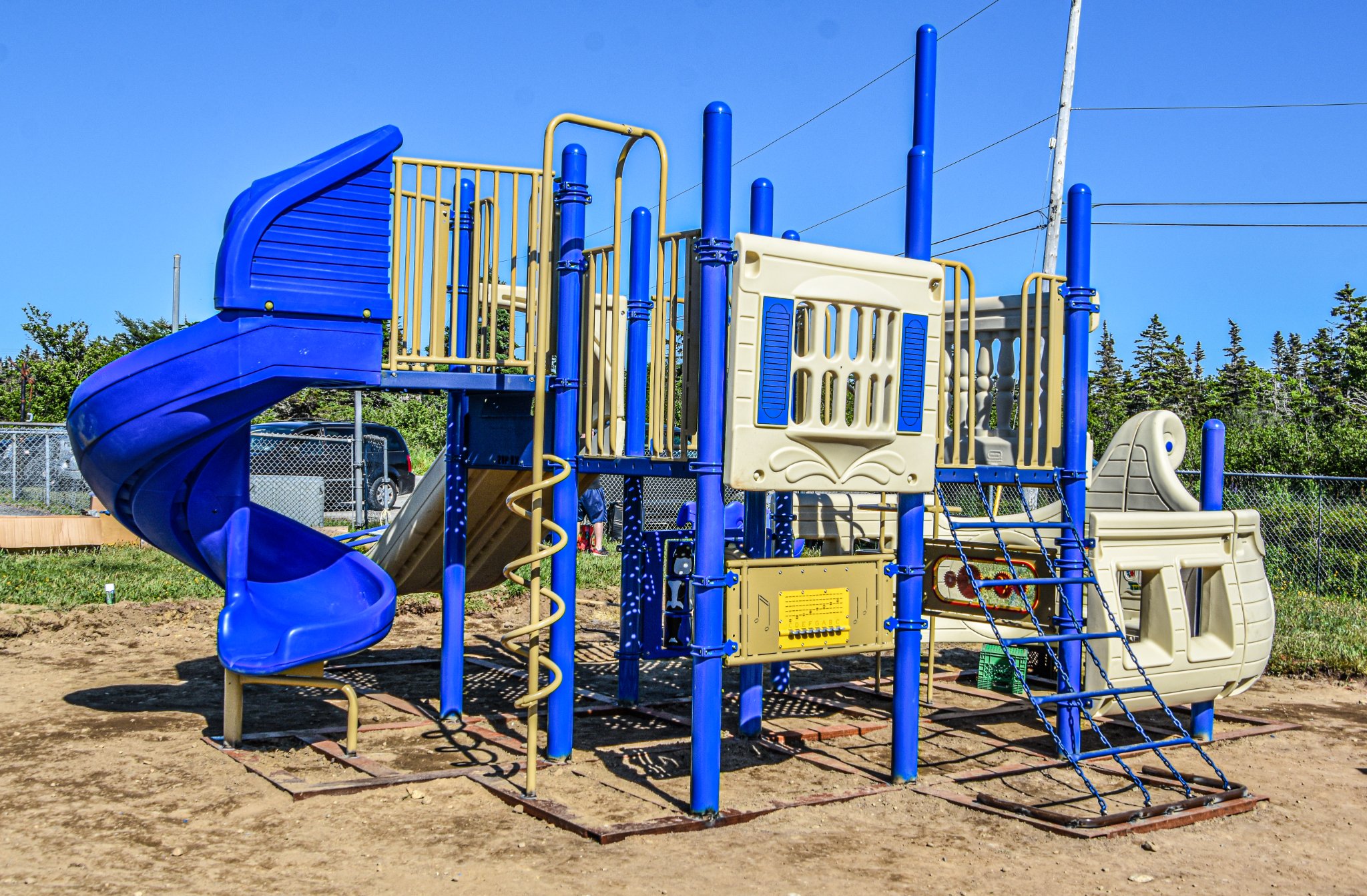
Club House Playground is located on Station Road in Lower Woods Harbour. The park has updated, inclusive equipment and is next to the Woods Harbour Multi Purpose Trail.
|
|
|||
| Shelburne County |
 Clyde Farm Campground |
Destination |
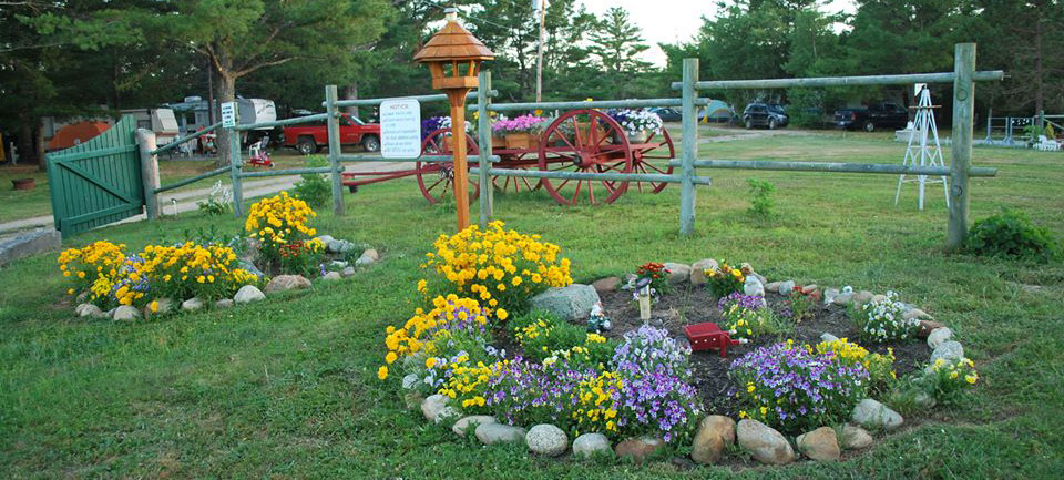
Clyde Farm Campground, on the South Shore of Nova Scotia, is located midway between Barrington and Shelburne. To reach us, simply take a detour from the 103 onto Upper Clyde Road in Clyde River. After following the meandering river for about 10 kilometers on a paved road, you’ll notice the picturesque Clyde River on your right and just a few steps away, the Clyde Farm Campground will be on your left. There is a boat launch directly across from the campground and we offer access via a pathway that leads directly to Pug Lake, a clear water gem of a lake. At Clyde Farm Campground there are a variety of options for your camping needs, both seasonal and overnight, including: 23 RV sites with electricity and water hook-ups 5 tent sites with a water station 3 mini camping cabins* – each with electricity, water station, microwave, mini fridge, fire pit and tabletop BBQ *guests must bring their own bedding, dishes and camping gear. Shared washroom and shower facilities. All sites come with a private fire pit. Services When it comes to amenities, we have you covered. Onsite, you’ll find flush toilets, showers, an outdoor sink, a washing machine, and two dumping stations. For the little ones, we have a playground with swings, a slide, and a sandbox. And for the older kids and adults, we offer a horseshoe pit, washer games, and a basketball hoop to help keep everyone entertained. If you’re a fan of water activities, you’re in luck. There is a boat launch located directly across from the campground, giving you easy access to Clyde River. It’s a fantastic spot for fishing, canoeing, and swimming. If you’re up for a hike, we provide direct access to the Pug Lake path, where you can enjoy the beauty of a clear water lake. Don’t worry about running out of ice and you don’t have to bring your own wood. We have Olivia’s Wood and Ice available for purchase onsite Campground events happening at various times throughout the season. Check with us for dates. Our onsite campground owner is dedicated to help ensure every guest has a welcoming and enjoyable experience. We can’t wait to welcome you to Clyde Farm Campground! |
|
|||
| Shelburne County |
 Clyde River Cottages & Campground |
Destination |
It's a pleasant drive down the Clyde River Road. The river, on the right, like the tree-lined, country road, twists and turns at every bend. In the fall, the hardwood trees along the riverbank are a burst of colour.
There are seven one and two bedroom cottages nestled among the hardwood trees (four two-bedroom and three one-bedroom), each on their own lot for added privacy, and given a name corresponding to the type of trees nearby - Birch Cottage, Maple Cottage, Pine Cottage, etc. Each 'full housekeeping cottage' is meticulously clean and has everything you need for a family vacation including bedding, towels, pots and pans, dishes, dish detergent, salt, pepper, sugar, cutlery, coffeemaker and even coffee and tea (provided FREE to our guests) for one night.
Each cottage is fully insulated and electrically heated and comes complete with modern appliances (including microwave, full stove and fridge), satellite TV, clock radio, blow-dryers, games, books, an outdoor fireplace, picnic tables, (you can buy firewood & rent BBQ’s at the store). The campground is open from May 15th to September 30th.
A laundry room is on site. As of 2023, we now have free high-speed internet (WIFI) for all guests! In the office there’s access to the internet, phone or fax. Two bedroom cottages sleep up to six and one bedroom cottages sleep up to four guests comfortably. Double, queen and twin beds available.
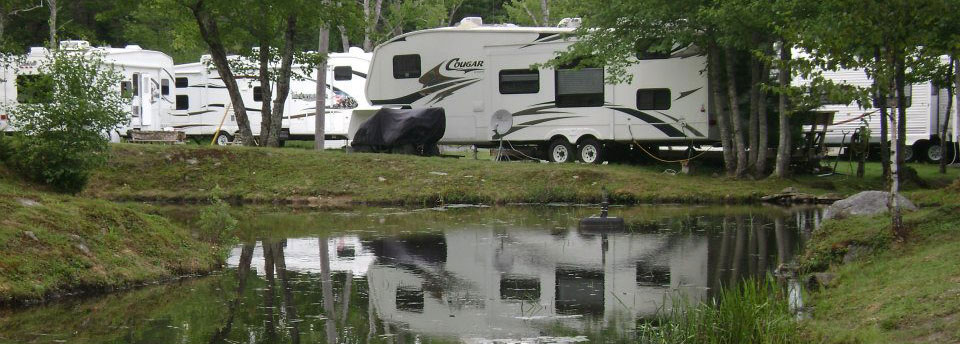
We have 73 campsites with full hookups or unserviced sites, wooded, opened and well spaced. We now also have 2-30 Amp pull through sites. Our customers suggest our new facility is one of the best campgrounds and camping destinations in the province and one of the great places to stay in Nova Scotia. We require a minimum of 4 nights stay for camping.
Clyde River Cottages and Campground is just 11 kilometers (7 miles) from Highway #103 on the Clyde River Road, a picturesque country road that follows the twists and turns of the Clyde River. It is the third campground on this road.
|
|
|||
| Pictou County |
 Colonel Dan Sutherland Memorial Park |
Destination |
Colonel Dan Sutherland Memorial Park was built in 1975. It was built from funds donated by the River John Lions Club and the River John and area Recreation and Development Association.
The Park consists of a ballfield, childrens playground and Park. The ballfield is used annually during River John festival days for children, adult events and also throughout the summer and fall for ball tournaments.
|
|
|||
| Antigonish County |
 Columbus Field Park, Playground, and Splashpad |
Destination |
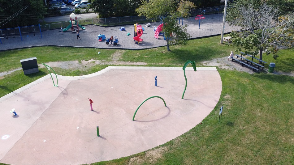
This is venue provides a play area for both families and organized athletic teams. It offers a cinder track, soccer field, two baseball fields, 2 hardcourt tennis surfaces, a riverside greenspace, fenced-in dog park, and a playground with water park. |
|
|||
| Inverness County |
 Corney Brook Trail |
Destination |
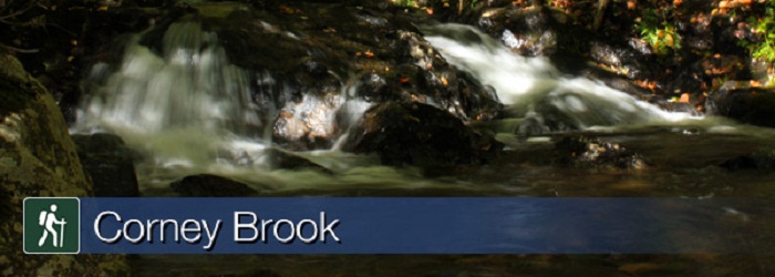
Follow a meandering brook through a hardwood forest to a small waterfall that marks the end of the trail. You are actually in a box river canyon – there is only one way out! Keep a watch out for wildlife – a variety of birds, snowshoe hare or maybe even a moose. Local Acadians know this brook as "Rivière à Lazare". Length: 6.5 km (4 mi) return |
|
|||
| Pictou County |
 Craigs Way foot path |
Destination |
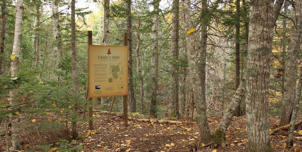
Craig’s Way is a footpath that embodies the deep ecological values of the Friends of Redtail Society and provides an opportunity for us, as humans, to deepen our relationship with nature. The setting is a naturally regenerating Acadian forest. You are invited to move through the footpath slowly and silently, to fully take in your surroundings, and to be respectful of other beings that live there. To keep human impact to a minimum and for safety, please stay on the trail. Allow about one and half hours to walk the trail at a relaxed pace. The terrain is challenging with steep hills, narrow ledges, and uneven and slippery surfaces underfoot. Please use caution; this is a wild place. Ensure you leave this place as unchanged as possible by your presence. Food or garbage discarded in this forest increases risk to humans and wildlife. Please take garbage with you when you leave. |
|
|||
| Antigonish County |
 Cribbons Point Wharf |
Destination |
Small Craft Harbours Launching ramp. Fishermens Wharf and Recreational Boat Docking.
|
|
|||
| Shelburne County |
 Crow Neck Beach |
Destination |
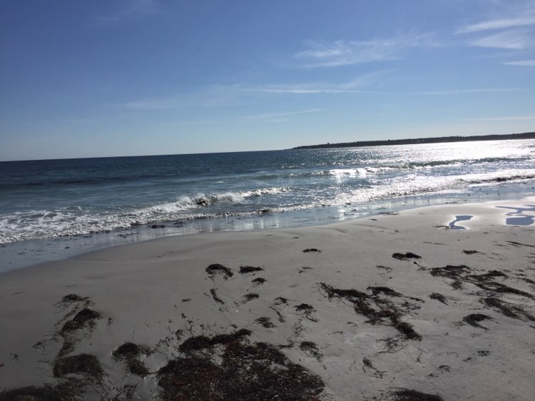
Crow Neck beach is located in Bacarro. There is limited parking- you will need to park on the shoulder of the road to access the beach if you visit by car. This beach is a hidden gem in the Municipality. It is also home of the protected piping plovers. Crows Neck Beach is wonderful for bird watching, beach combing or taking a nice leisurely stroll next to the Atlantic Ocean.
Baccaro is the oldest place name in Nova Scotia. Just around the corner is the Baccaro Lighthouse; rebuilt in 1934 this 45 foot tall lighthouse is land assessable.
Explore at own risk.
|
|
|||
| Pictou County |
 Culloden Cairn Pathway |
Destination |
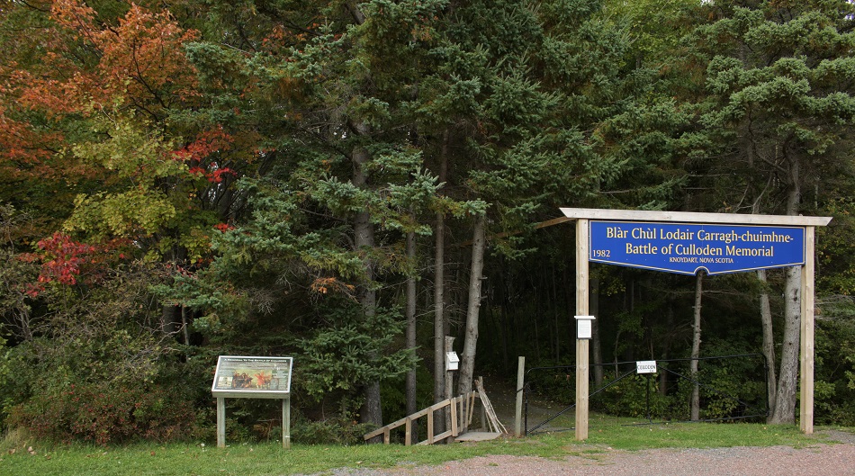
View the beautiful shore of the Northumberland Strait while walking along the Culloden Cairn Pathway, a memorial built in 1938 with a pioneer cemetary. Spring ceremonies take place in the month of April (weather permitting) but the pathway, cemetary and monument are open all year round. If you need a rest you can relax in the gazebo or on one of the benches. |
|
|||
| Antigonish County |
 Cuties Hollow Trail |
Destination |
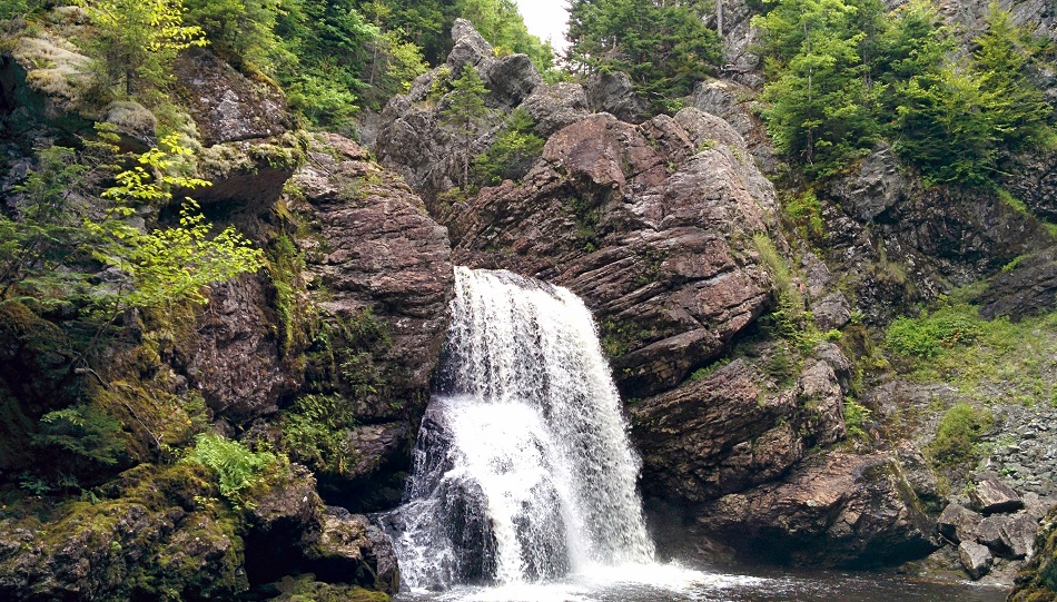
The hike into the falls follows an old ATV trail and has not been in use by enthusiasts for several years. The canopy cover consists primarily of conifer species (spruce & balsam fir), but as you approach the falls the forest transitions to deciduous species (American beech & sugar maple). Before the stand transition occurs you must cross a stream approximately 3 meters wide. Once across the stream you will travel about another 70 meters before you meet up with the active ATV and snowmobile trail. This section of trail is well maintained, any windfall is cleaned up and the trail is marked with reflective tape. Once you are on the active ATV and snowmobile trail the falls is only a short distance away and you will hear the turbulent waters. There is another footpath approximately 30 meters long that branches off the main ATV/snowmobile trail. This trail is marked with flagging tape and takes you to the top of falls where there is a rope tied between the trees to assist your descent to the bottom. |
|
|||
| Pictou County |
 Dr. W. A. MacLeod Elementary School Woodlands Wilderness Trails |
Destination |
Dr. W. A. MacLeod Elementary School Woodlands Wilderness Trails is used for walking,/hiking. The distance of the trail is a 1.5 km long loop. |
|
|||
| Shelburne County |
 Drinking Brook Park |
Destination |
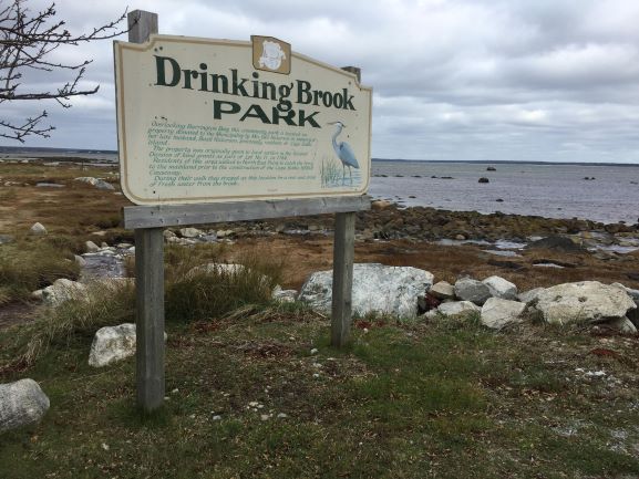
The gazebo is a great feature of Drinking Brook Park, allowing guests to sit and eat at the picnic table and having a great view of the ocean and near by birds.
Drinking Brook Park is located at 513 Stoney Island Road, Clam point.
|
|
|||
| Antigonish County |
 Dunns Beach |
Destination |
Looking east across the entrance of Antigonish Harbour to Dunn's Beach on the far side Dunn's Beach offers many paddling options with access to the ocean, the harbour and a large lagoon. The sand bar is partly wooded with a sheltered cove behind the beach. Large coloured stones of red, yellow and grey spread over the beach, a clue to the varied geology of this area. The beach has a big view of St George's Bay across to Cape George. Limited roadside parking, please do not drive on the sand dunes. |
|
|||
| Antigonish County |
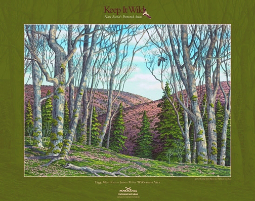 Eigg Mountain: Mountain Biking Trail |
Destination |
Eigg Mountain-James River Wilderness Area is located in the Pictou-Antigonish Hills, about 10 km northwest of the town of Antigonish. Expanded in 2015, this wilderness area protects more than 7,600 hectares of exceptional upland woodlands. The upland, rolling hills are dissected by steep ravines and gullies typical of the Pictou-Antigonish Hills natural landscape. With its combination of well-drained, tolerant hardwood forests, mixed forest canyons, rich forested flood plains and productive wetlands, this wilderness area protects the largest remaining patch of older, contiguous forest in this part of Nova Scotia. The relatively undisturbed woodlands support a diversity of ecosystems, plants and animals. Habitat is suitable for species like goshawk and endangered mainland moose. Atlantic salmon spawn in the headwaters of several rivers within the wilderness area. Most of the Town of Antigonish’s James River drinking water supply area is now within the wilderness area. A substantial part of this catchment is owned by the Town of Antigonish. Most of this (1,361 hectares) was designated as wilderness area in 2007, at the Town’s request. This legal protection of the Town’s lands as wilderness area supports the Town’s efforts to protect its drinking water supply area. Wilderness recreation enthusiasts will find numerous opportunities for day-use or extended back-country travel in this highly scenic setting. Hiking, backcountry skiing, bird-watching and nature viewing are just some of the possibilities. Various portions are suitable for hunting and trapping. Major forest access roads, also used for snowmobile and ATV riding, are not within the wilderness area and remain open for vehicle use. These provide access to the wilderness area from surrounding communities such as Marshy Hope, Pleasant Valley and Ardness. Several sections of off-highway vehicle (OHV) routes within the wilderness area are managed by the Snowmobilers Association of Nova Scotia (SANS) and All-terrain Vehicle Association of Nova Scotia (ATVANS) under agreements with Nova Scotia Environment. This includes a section of route 715A and several routes in the northeastern portion of the wilderness area. Bicycle use is permitted on the routes managed by ATVANS. These routes, together with adjacent forest access roads, provide good opportunities for experiencing the wilderness area by bicycle. One campsite lease is located within the wilderness area. About 600 m of electrical transmission line passes through the wilderness area near Browns Mountain Road. Nova Scotia Power (NSPI) retains the authority to operate and maintain this transmission line. At 305 m (1,000 feet) above sea level, is a prominent spot overlooking the Northumberland Strait. This ride climbs to a point just below the summit, offering the occasional view across the water to Prince Edward Island. Although the climb toward the summit of Eigg Mountain is gradual, it does require stamina and sound cardiovascular fitness. Technically speaking, the ride is suitable for all levels, as it follows relatively easy terrain along double-track trails, logging roads, and a short stretch of pavement. The total distance for this loop is 24 km (15 miles). |
|
|||
| Antigonish County |
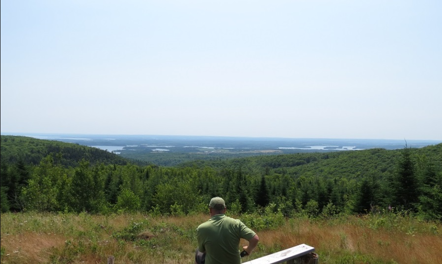 Fairmont Ridge Trail |
Destination |
12 kilometers of well-marked trails, 6 loops varying in difficulty, featuring spectacular views of Antigonish Harbour. See old growth forest, brooks and abundant wildlife. This trail is suitable for the whole family. To see PDF Map click Here. |
|
|||
| Pictou County |
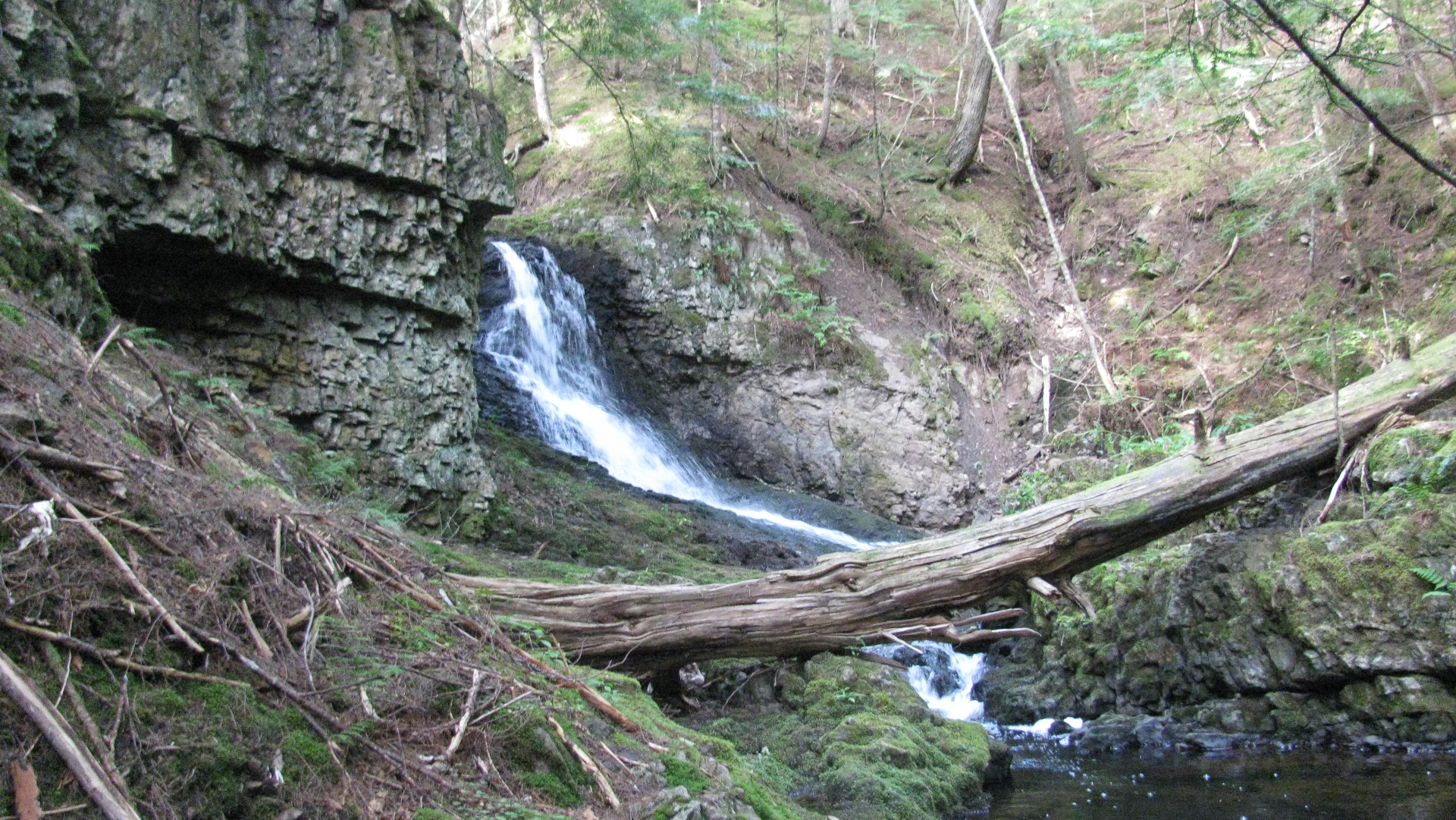 Fall Brook Falls |
Destination |
A brisk brookside stroll leads to a number of stunning Fall Brook waterfalls. |
|
|||
| Inverness County |
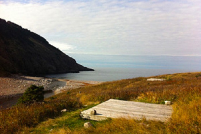 Fishing Cove Campground |
Destination |
The Fishing Cove back-country camping area is an 8 km (5 mi) hike down to the rugged coastline cradled at the base of MacKenzie Mountain. A grassy hillside, a cobblestone beach and a river complement this camping spot. Campers are required to register for a back-country permit at either the Chéticamp or Ingonish Visitor Centres, bring a camp stove (no open fires allowed), pack out all garbage (no garbage receptacles) and bring their own drinking water. Potable water is not available on site. A 4 km (2.5 mi) return trail is also available. Amenities: Activities: |
|
|||
| Inverness County |
 Fishing Cove Trail |
Destination |
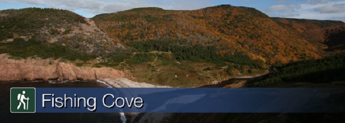
You are 355 metres (1165 feet) above sea level! Hike from the top of the mountain about 6 kilometres down to a small ocean cove and grassy clearing - the only designated wilderness camp site in the park. This was once the site of a Scottish fishing community and these settlers traded with the French for supplies. Explore the beach, roam the hills or swim in fresh or salt water. <b>You must register at a park visitor centre prior to camping. Significant Feature: Acadian forest, ocean cove and headlands For your comfort and safety: |
|
|||
| Shelburne County |
 Fort Creek Park |
Destination |
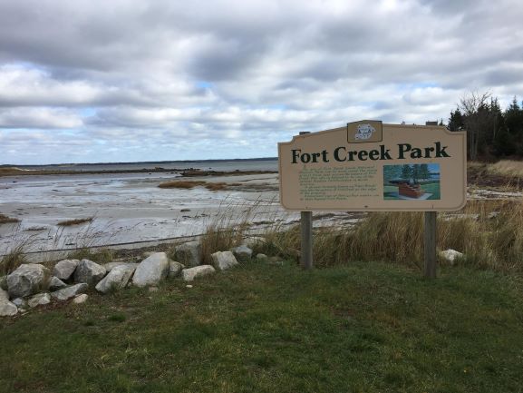
A great rest stop with views of the Atlantic Ocean, located at the site of Fort Saint Louis National Historical Park.
Close by: Crows Neck Beach and Baccaro Point
|
|
|||
| Shelburne County |
 Fort St. Louis |
Destination |
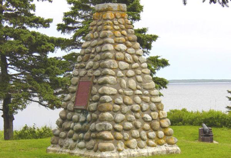
Fort St. Louis National Historic Site of Canada is situated one kilometre southeast of Port La Tour, a small town on the south-eastern tip of Nova Scotia. There are no visible remains of this 17th-century French Regime fort, which was constructed during the 1620s on Fort Point, overlooking a small bay on the Atlantic coast. By 1629 Fort Saint Louis was the sole remaining French military post of significance in early Acadia. The English were unsuccessful in their attempts to capture the fort. The site’s landscape now consists of a small grassed area with an HSMBC cairn and plaque surrounded by trees and brush, bounded to the west and to the east by the shoreline’s high water mark. Official recognition refers to the cairn surrounded by a radius of 100m excluding the small lake to the north.
|
|