Search
| Community | Name | Type | Activity | Brief Description | Info | Actions | |
|---|---|---|---|---|---|---|---|
| Antigonish County |
 Eigg Mountain: Mountain Biking Trail |
Destination |
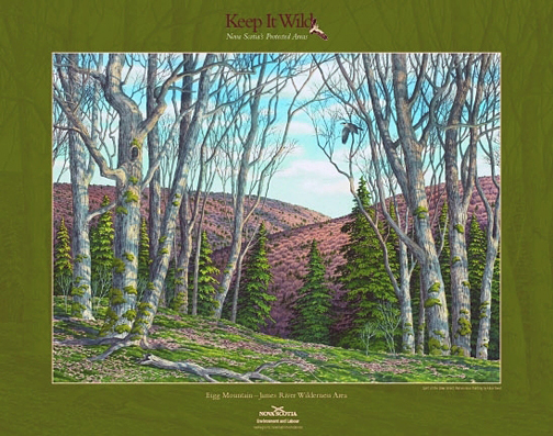
Eigg Mountain-James River Wilderness Area is located in the Pictou-Antigonish Hills, about 10 km northwest of the town of Antigonish. Expanded in 2015, this wilderness area protects more than 7,600 hectares of exceptional upland woodlands. The upland, rolling hills are dissected by steep ravines and gullies typical of the Pictou-Antigonish Hills natural landscape. With its combination of well-drained, tolerant hardwood forests, mixed forest canyons, rich forested flood plains and productive wetlands, this wilderness area protects the largest remaining patch of older, contiguous forest in this part of Nova Scotia. The relatively undisturbed woodlands support a diversity of ecosystems, plants and animals. Habitat is suitable for species like goshawk and endangered mainland moose. Atlantic salmon spawn in the headwaters of several rivers within the wilderness area. Most of the Town of Antigonish’s James River drinking water supply area is now within the wilderness area. A substantial part of this catchment is owned by the Town of Antigonish. Most of this (1,361 hectares) was designated as wilderness area in 2007, at the Town’s request. This legal protection of the Town’s lands as wilderness area supports the Town’s efforts to protect its drinking water supply area. Wilderness recreation enthusiasts will find numerous opportunities for day-use or extended back-country travel in this highly scenic setting. Hiking, backcountry skiing, bird-watching and nature viewing are just some of the possibilities. Various portions are suitable for hunting and trapping. Major forest access roads, also used for snowmobile and ATV riding, are not within the wilderness area and remain open for vehicle use. These provide access to the wilderness area from surrounding communities such as Marshy Hope, Pleasant Valley and Ardness. Several sections of off-highway vehicle (OHV) routes within the wilderness area are managed by the Snowmobilers Association of Nova Scotia (SANS) and All-terrain Vehicle Association of Nova Scotia (ATVANS) under agreements with Nova Scotia Environment. This includes a section of route 715A and several routes in the northeastern portion of the wilderness area. Bicycle use is permitted on the routes managed by ATVANS. These routes, together with adjacent forest access roads, provide good opportunities for experiencing the wilderness area by bicycle. One campsite lease is located within the wilderness area. About 600 m of electrical transmission line passes through the wilderness area near Browns Mountain Road. Nova Scotia Power (NSPI) retains the authority to operate and maintain this transmission line. At 305 m (1,000 feet) above sea level, is a prominent spot overlooking the Northumberland Strait. This ride climbs to a point just below the summit, offering the occasional view across the water to Prince Edward Island. Although the climb toward the summit of Eigg Mountain is gradual, it does require stamina and sound cardiovascular fitness. Technically speaking, the ride is suitable for all levels, as it follows relatively easy terrain along double-track trails, logging roads, and a short stretch of pavement. The total distance for this loop is 24 km (15 miles). |
|
|||
| Antigonish County |
 Fairmont Ridge Trail |
Destination |
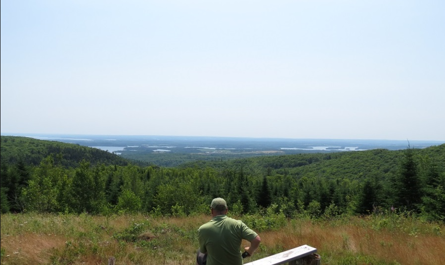
12 kilometers of well-marked trails, 6 loops varying in difficulty, featuring spectacular views of Antigonish Harbour. See old growth forest, brooks and abundant wildlife. This trail is suitable for the whole family. To see PDF Map click Here. |
|
|||
| Inverness County |
 Fishing Cove Campground |
Destination |
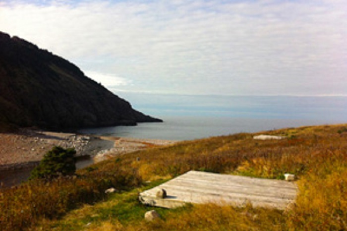
The Fishing Cove back-country camping area is an 8 km (5 mi) hike down to the rugged coastline cradled at the base of MacKenzie Mountain. A grassy hillside, a cobblestone beach and a river complement this camping spot. Campers are required to register for a back-country permit at either the Chéticamp or Ingonish Visitor Centres, bring a camp stove (no open fires allowed), pack out all garbage (no garbage receptacles) and bring their own drinking water. Potable water is not available on site. A 4 km (2.5 mi) return trail is also available. Amenities: Activities: |
|
|||
| Inverness County |
 Fishing Cove Trail |
Destination |
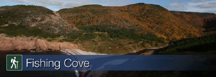
You are 355 metres (1165 feet) above sea level! Hike from the top of the mountain about 6 kilometres down to a small ocean cove and grassy clearing - the only designated wilderness camp site in the park. This was once the site of a Scottish fishing community and these settlers traded with the French for supplies. Explore the beach, roam the hills or swim in fresh or salt water. <b>You must register at a park visitor centre prior to camping. Significant Feature: Acadian forest, ocean cove and headlands For your comfort and safety: |
|
|||
| Shelburne County |
 Green Hills Walking Trail |
Destination |
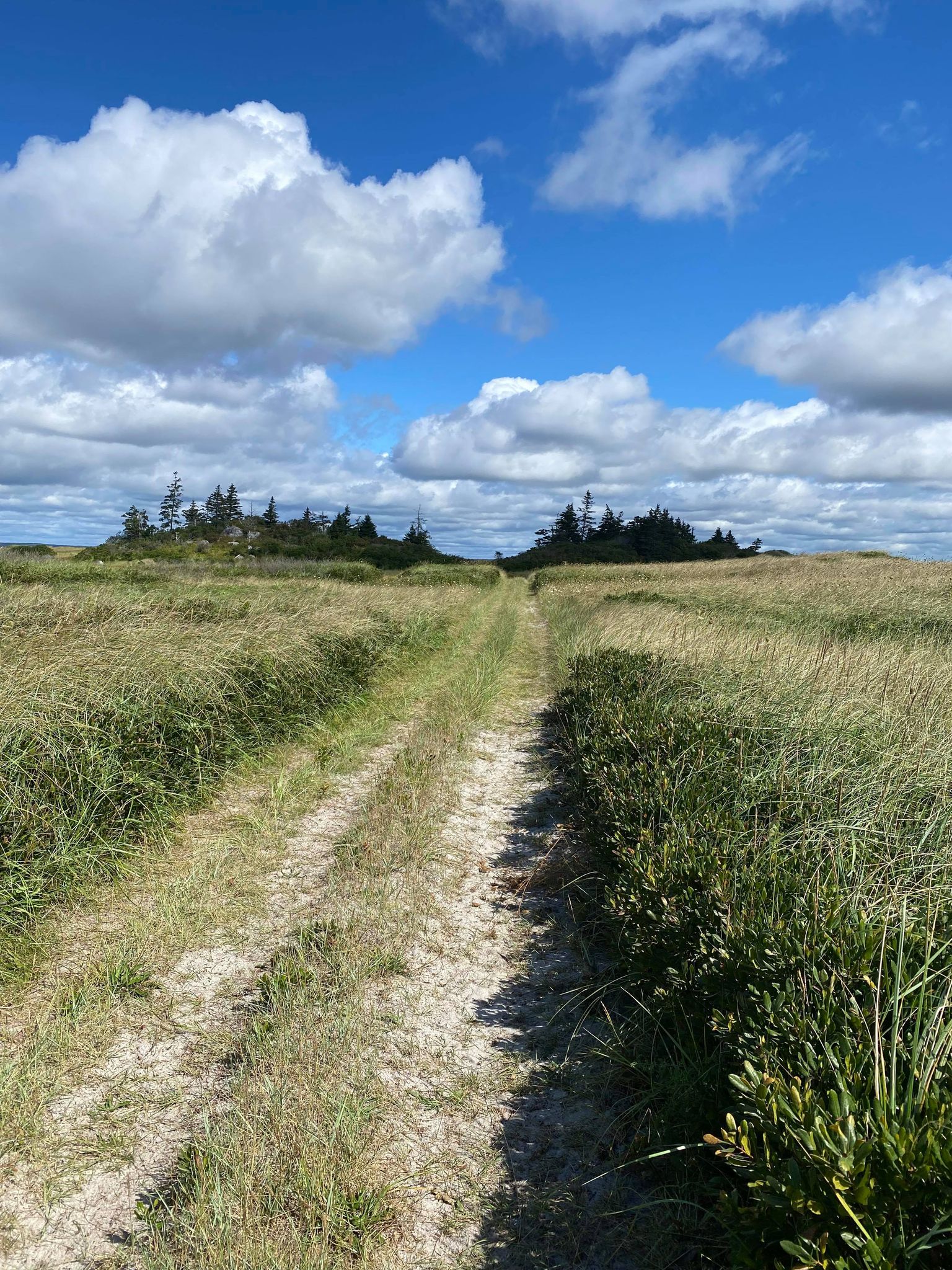
The Green Hills Walking Trail is located on Cripple Creek Road in Clam Point. Drive down Cripple Creek Road and take a left before you reach the wharf. There is a large parking space, garbage can, and signage to keep your dog on a leash. The trail follows the shoreline in Clam Point and is a excellent and peaceful walk to sight see and watch waves. There is also a beach. The trail is roughly 1.7km one way. |
|
|||
| Antigonish County |
 Havre Boucher Wharf |
Destination |
Small Craft Harbour |
|
|||
| Pictou County |
 Hopewell Heritage Foot Bridge Nature Trail |
Destination |
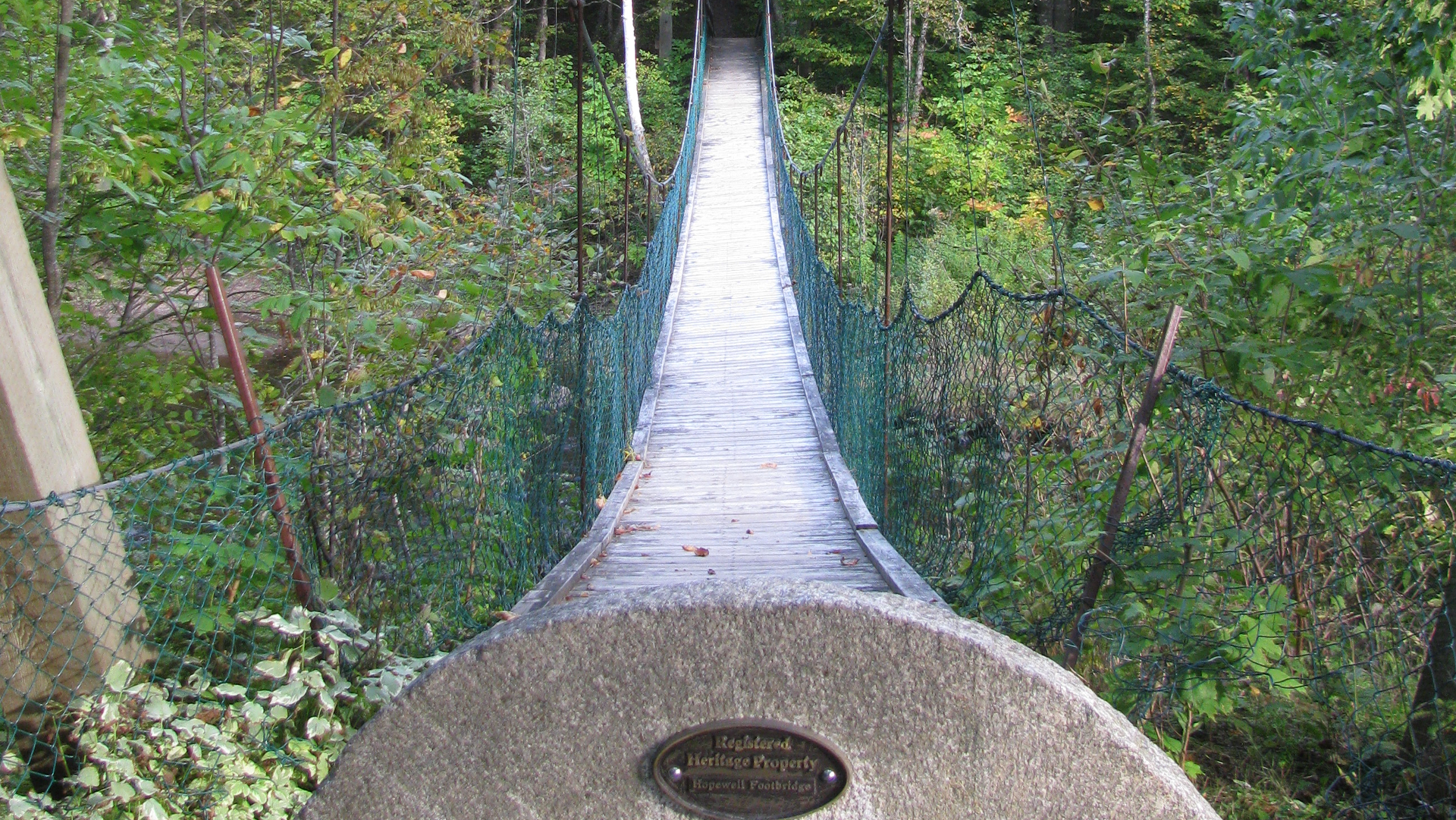
"The Hopewell Footbridge nature trail is one of the last surviving footbridges in North America. It was originally built in the 1800's along with another footbridge, which was destroyed by ice and extreme winter conditions. In 1991 large effort was made to restore the bridge. The bridge itself stems off into a series of trails and walking paths overlooking the river. The Africentric Heritage park opened in 2000 and bears the inscription “to our children." It was created to commemorate the past, focus on the present and provide a foundation for the cultural future of African Nova Scotians. The Park is situated on Vale Road in the South end of New Glasgow. At the heart of the park is a pyramid-shaped building, which symbolizes the pyramids of Egypt. Each side of the building represents a portion of the history and migration story of the Black community in Nova Scotia. |
|
|||
| Pictou County |
 Jitney Trail - River John to Pictou |
Destination |
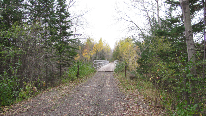
Jitney Trail - River John to Pictou is a beautiful recreational trail in the Northumberland Shore region from Pictou's waterfront to Brown's Point. Walkers, cyclists and in-line skaters can enjoy a 3-km trail to the site where the Ship Hector made it's historic landing in 1773. |
|
|||
| Pictou County |
 Jitney Trail, Pictou Waterfront |
Destination |
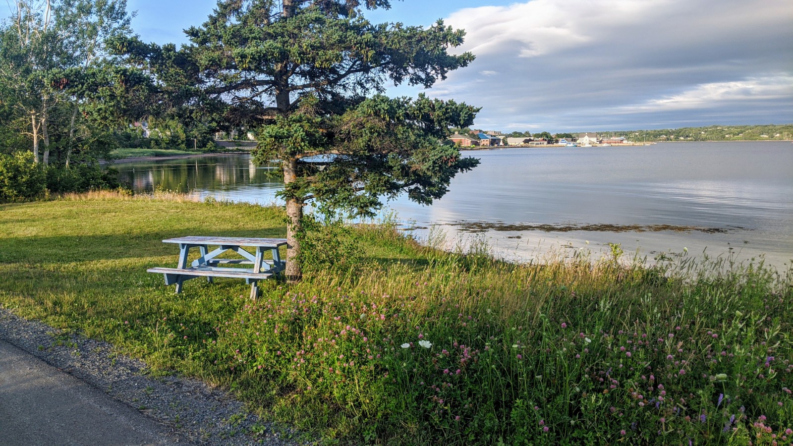
The Jitney Trail begins along the waterfront in Pictou and follows the abandoned rail line west around Norway Point and under the causeway to Browns Point. From the parking area the paved, 5 to 7 foot wide trail runs along the shoreline of Pictou Harbour. This paved area is excellent for wheelchair, bicycle, rollerblade, and stroller use. Walkers and cyclists can enjoy a three-kilometre trail to the site where the ship Hector made its historic landing in 1773. Park benches and picnic tables are available, allowing you to take in the panoramic views. Along the way, you can learn about Pictou through interpretive panels and views of the site the Hector settlers landing. The Jitney Trail connects directly to the Trans Canada Trail System for more avid hikers/bikers. Washrooms are available at Brown's Point or at the Hector Quay Visitor's Marina. The trail is partially lit and paved for first 1.5 km (from the entrance on the town-side). An application for facility usage is available at the Town Office for anyone looking to use the trail for a special event or a charity run/walk event. |
|
|||
| Pictou County |
 Johnny Miles Memorial Trail |
Destination |
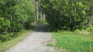
Named in tribute to Boston Marathon winner, the late Johnny Miles. The Johnny Miles Memorial Trail is a short and sweet winding gravel path that starts alongside the McDonald's on East River Road, heading through some light woodland and forking between two paths leading to Walkerville Road and down to Park Street near the Scott W. Weeks Sports Complex and jogging track, and a stone's throw from the North Nova Education Centre. |
|
|||
| Pictou County |
 Juniper Head Trail |
Destination |
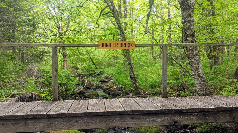
The Juniper Head Trail passes through an immature spruce forest, as well as an old sugar maple and yellow birch forest, with several old forest lichens. It runs along old skidder roads, brooks, and Juniper Brook and the Gully Lake Trail before ending at Juniper Brook and the Gully Lake Trail. |
|
|||
| Inverness County |
 Le Buttereau Trail |
Destination |
The self-guiding trail explores mixed Acadian forest, old fields and foundation ruins on a “buttereau” (small hill) overlooking the Chéticamp River and Gulf of St. Lawrence. Wildflowers, trees and shrubs have invaded these pastures that were once tilled by the Acadian pioneers, making an ideal spot for birds and small mammals. Plaques commemorate former Acadian homesteads. Trailhead: On the Cabot Trail at the Grande Falaise picnic area. |
|
|||
| Inverness County |
 Le Chemin du Buttereau |
Destination |
Retrace the steps of the Acadian pioneers who travelled this cart path from Le Buttereau, a small settlement of seven families, to Chéticamp. The open fields and bits of foundations are visible reminders of those hardy settlers. This trail offers glimpses of the Chéticamp River, old pastures, small mammals and birds. Trailhead: On the Cabot Trail at the turn off for the Chéticamp Campground. |
|
|||
| Inverness County |
 Le Vieux Chemin du Cap-Rouge Trail |
Destination |
Follow the route of the old Cabot Trail from Trout Brook as it gently climbs to a ridge midway up Jerome Mountain, offering views of the Atlantic along the entire length of this trail. Traces of Acadian history abound, with the remains of an old school, foundations of the former residents' houses, and the old wharf at La Bloc visible at various points on the journey. Your efforts will be rewarded at the final look-off featuring spectacular views of Presqu'île and the Gulf of St. Lawrence. An exhibit at the look-off provides further information on the families. Trailhead: On the Cabot Trail across from the Trout Brook picnic area |
|
|||
| Antigonish County |
 Linwood Heritage Nature Trail |
Destination |
1.5-km heritage/nature trail through woods past historical sites. Trail & Picnic Park |
|
|||
| Inverness County |
 Lone Shieling Trail |
Destination |
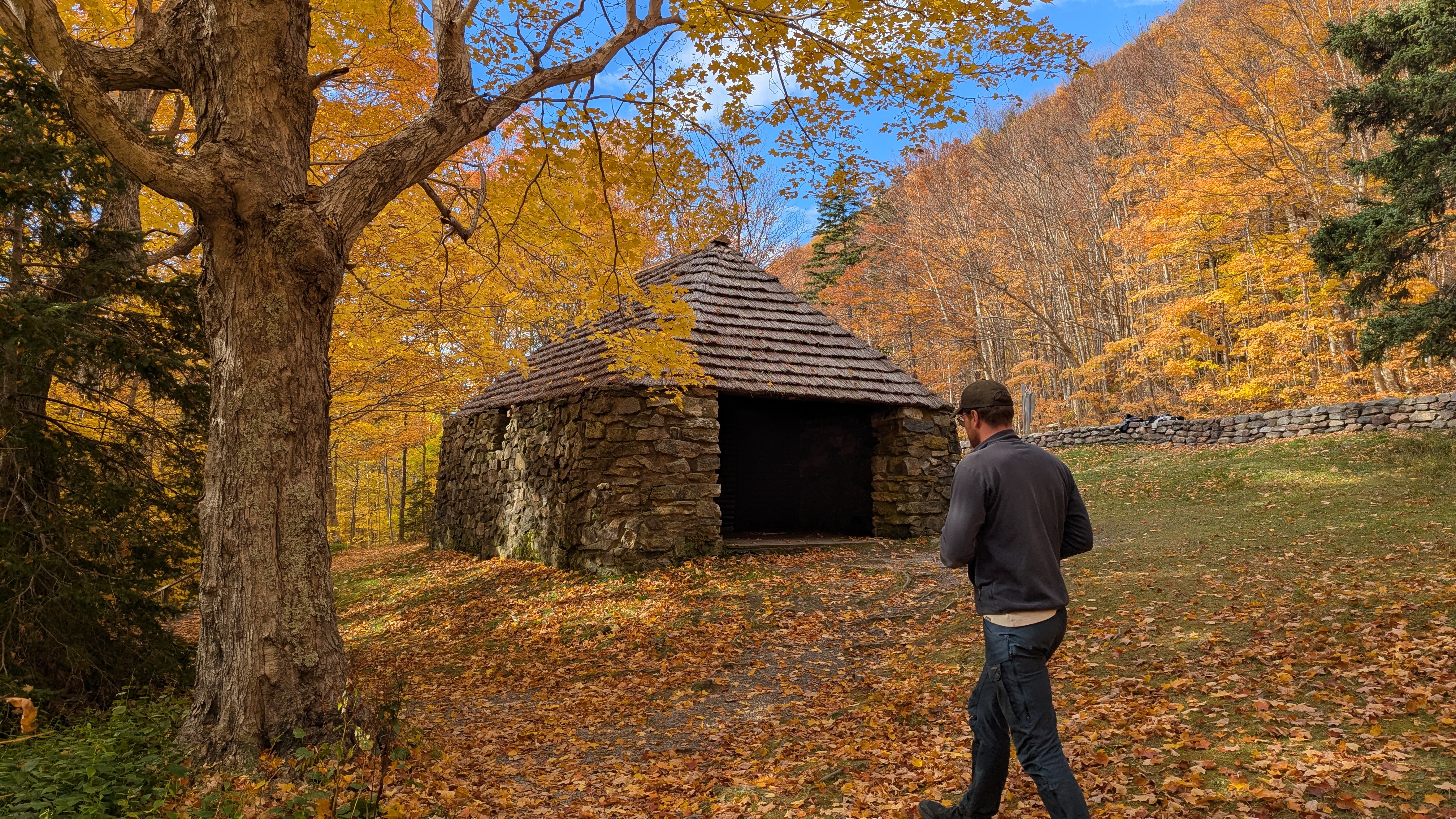
Dominated by 350 year old sugar maple trees, the Grande Anse Valley is one of the largest old growth hardwood forests in the Maritimes. One of the most protected areas of the park, access is restricted to this short trail. A replica of a Scottish crofter's hut is found at the beginning of the trail. Find out why it's here. Keep an eye out for wildlife – moose like it here too. |
|
|||
| Inverness County |
 Lowland Cove |
Destination |
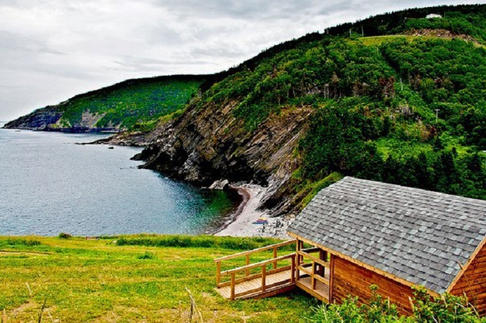
Lowland Cove is located on the northern tip of Cape Breton Island. Park here and follow the dirt road as it winds up over the mountain. After a challenging climb the track levels out a bit and begins to slope downward. Look for a track that branches to the right and is marked with flagging tape. This is the old Cape St Lawrence lighthouse access road. From here you can follow the Cape St Lawrence branch to the coast, and then follow the coastal footpaths to the cove. Or you can keep straight past the Cape St Lawrence branch trail... which eventually leads down to the cove. Length: 16 km (10 mi) return |
|
|||
| Inverness County |
 Mabou Marina |
Destination |
Situated off the Ceilidh Trail (route 19) along the sheltered waters of Mabou Harbour, the Mabou Marina serves as a local marine hub and a gathering spot for coastal events and community celebrations. |
|
|||
| Inverness County |
 MacIntosh Brook Trail |
Destination |
Imagine a nice, easy, fairly level stroll along a babbling brook and through a mature hardwood forest with a scenic waterfall at the end. Add to that the songs of forest birds and you have this relaxing trail. Trailhead: MacIntosh Brook Campground and day use area |
|
|||
| Inverness County |
 Marble Mountain Beach |
Destination |
Marble Mountain Beach is a white-sand beach on Bras d’Or Lake with turquoise water created by historic marble quarrying. It’s a quiet, scenic spot for swimming, kayaking, and sunsets. |
|
|||
| Inverness County |
 Margaree Harbour |
Destination |
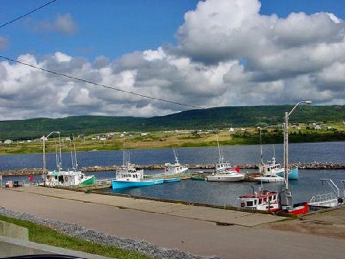
The boat ramp at Margaree Harbour sits near the mouth of the Margaree River, where the river empties into the Gulf of Saint Lawrence on Cape Breton Island.
|
|
|||
| Pictou County |
 McPherson Mills Trail |
Destination |
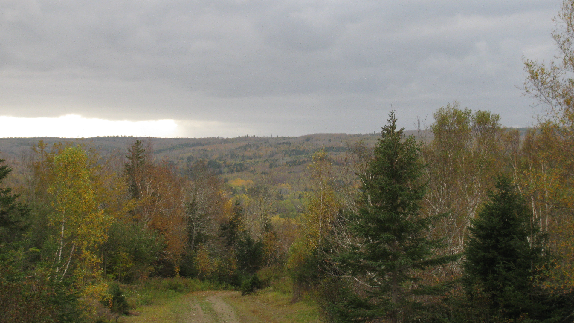
This 2.9-kilometer out-and-back trail near Mcphersons Mills, Nova Scotia, is a must-see. It takes an average of 44 minutes to complete this route, which is generally regarded as easy. This trail is ideal for trail running and hiking. Dogs are permitted but must be kept on a leash. |
|
|||
| Pictou County |
 Old Foster Trail |
Destination |
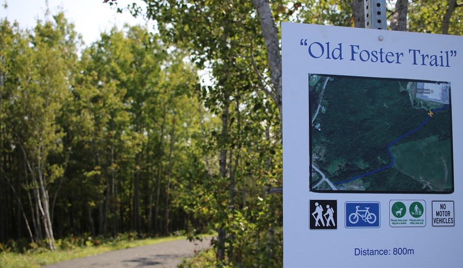
You can find the The Old Foster trailhead behind the Pictou County Wellness Centre which makes it a great place to spend some time when the kids are busy at the rink or pool! Pets are welcome but must be kept on a leash and cleaned up after. |
|
|||
| Pictou County |
 Pioneer Trail |
Destination |
The Pioneer Trail is named in honor of New Glasgow's founding and current day pioneers. The Trail includes a gazebo look-off view of Potters Brook and the Charlie Hoegg Kinsmen Covered Bridge. |
|
|||
| Shelburne County |
 Port Clyde Trail |
Destination |
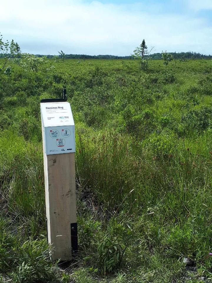
The Port Clyde Trail can be entered at Lyles Road off Highway 309. There is ample parking and the trail is 5.9km in length. The first 1.2km of this trail is also used as a gravel pit access road with the multi-use trail starting at this point with no highway vehicle access. This has limited parking if users wish to access the trail at this 1.2 km point. The other end of this trail is at kilometer 64 on Highway 103, near Clements Pond, where there is limited parking. |
|